Hi All,
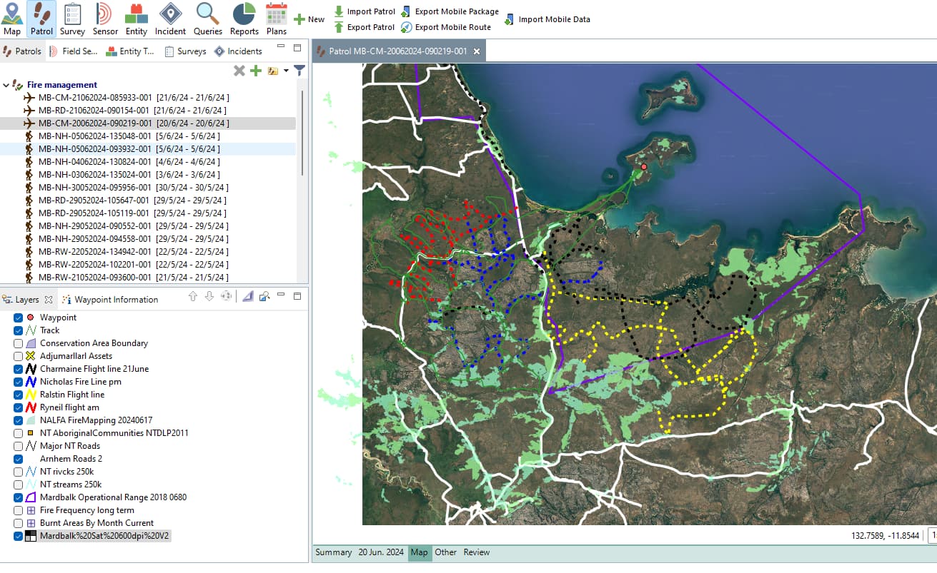
We are starting to use Routes that are used by the Helicopter pilot while doing aerial control burning (the helicopter is throwing incendiaries in unreachable areas to start cool burn early in the dry season).
Finding out where to burn and where not to burn is not easy, and multiple layers are required:
This year fire scars
Last year fire scars
Infrastructures
Protected sites
…
And often some layers need to be activated or deactivated while the route is being drawn.
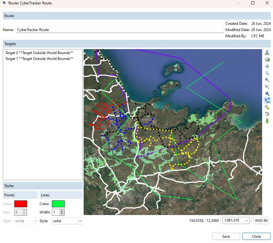
We can do this in the map section once we have selected a Basemap and this is great and very useful:
But at present, we cannot do it (enabling or disabling layers) while drawing the route, we only have the Default base map.
Here is a short video explaining this → https://youtu.be/oQOQ5jn2E9U
I hope this makes sense.
1 Like
@xespiau Thanks for this suggestion. We’ll make a note of it in our dev requests.
In the meantime, some suggestions:
- It might be easier to make your routes in ArcGIS/QGIS/Google Earth and import them in, if the layer off/on feature is a major limitation.
- A workaround would be to create several basic basemaps, each with a variation of the 4 layers you need on, and to swap back and forth between those as needed, since you can change your basemap in the route window (icon in the top right above zoom to all layers).
Suggestion 2 looks like the best one for the time being.
Regarding suggestion 1, we have noticed that using too many software is a bit like having too many cooks in the kitchen 
We encourage and support the rangers to learn new GIS skills/tools, and some do, but I believe we are already very close to have the right balance between user friendliness and functionalities inside SMART Desktop.
The GIS component of SMART Desktop is actually the best training tool we can get to help people transition to more complex GIS software.
Cheers,
Xavier
2 Likes