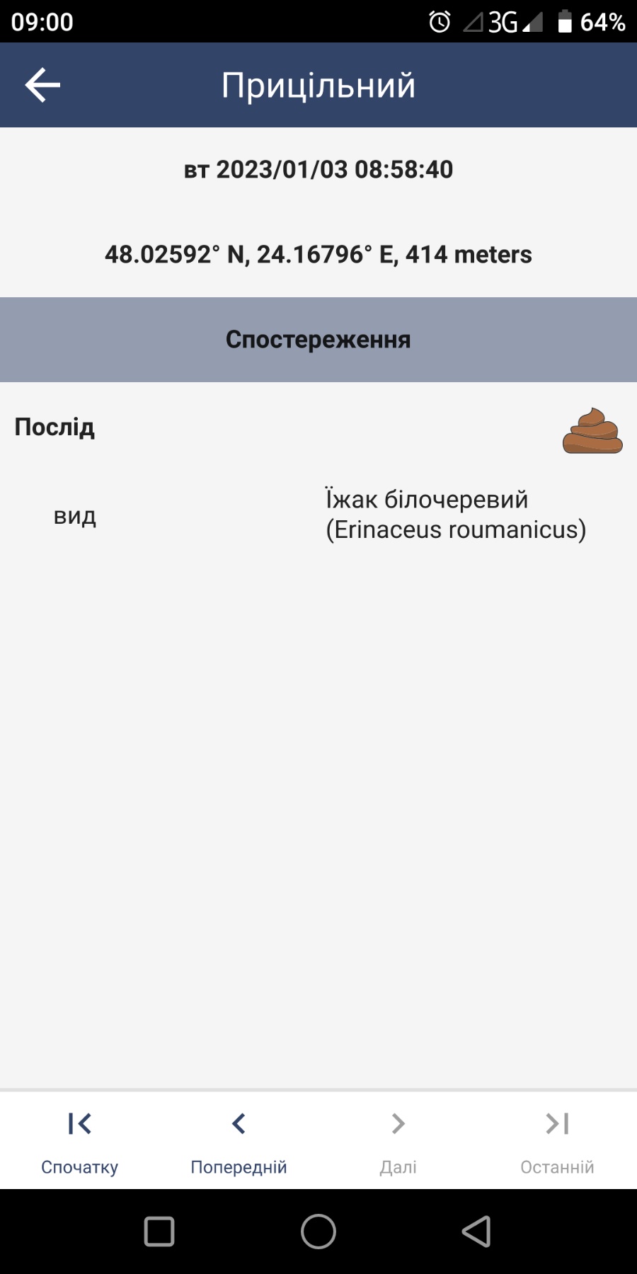
Hi there. Our institution (Carpathian Biosphere Reserve) is located in the mountains. We have significant altitude differences, from 200 m to 2061 m above sea level. Therefore, it is important for us to know the height above sea level at which the observation was made. But I don’t see this data anywhere. But what is interesting, the mobile smart collects height data, as can be seen in the screenshot (414 m).
Please tell me how to view altitude data.
1 Like
Hi Volodimir,
This is a bit obscure right now, but you can create an attribute and set the key to “gps_z”. SMART Mobile will fill that in with the altitude.
Note that it also supports “gps_a” (accuracy), “gps_s” (speed), “gps_d” (direction).
Cheers,
-Justin
3 Likes
Thank you very much. Everything worked.
It worked out for me too. Thanks Justin