Hi All,
We are using routes as Helicopter tracks for the pilot to follow while doing aerial control burning.
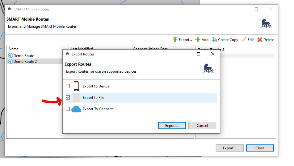
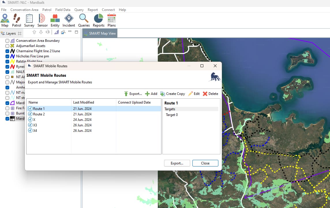
Is it possible to export Routes to a shapefile or GPX from the SMART Mobile Routes windows.
We are using SMART 7.5.7.
Thank you,
Xavier
Hi All,
We are using routes as Helicopter tracks for the pilot to follow while doing aerial control burning.
Is it possible to export Routes to a shapefile or GPX from the SMART Mobile Routes windows.
We are using SMART 7.5.7.
Thank you,
Xavier
@xespiau Off the top of my head, there’s not a simple, 1-click way to do this, as the routes dialog is creating a package of json files for SMART Mobile to ingest.
There is a workaround that does work however, that involves using the “Export to File” feature:
Once you’ve exported your route to a known file location on your computer, you’ll see the package is a zip file. You can then use any number of file conversion pathways to convert the exported json files into another file type (eg, shp). For example - there’s an online conversion tool here: GeoJSON to SHP Converter Online - MyGeodata Cloud, or if you use ArcGIS, you can use the JSON To Features conversion tool. I’m not familiar with the exact pathway for QGIS, but I’m sure there’s an analog there as well. NOTE: depending on the conversion pathway you use, you may need to first extract the zipped files and use just the single extracted json file (ie, not the “project.json” file).
Once you’ve converted to a shp file, then you should be good to use it as you like.
We’ll check on a more straightforward way, but that should get your short term need sorted.
Thank Drew for your prompt response.
This is a good work around, but it involves to many steps for our Indigenous rangers who are not super IT savy.
Hopefully we will get an easier way to export route directly as Shapefile of GPX in the future version of SMART.
Is there a place in the forum where you collect functionalities “whishes” from the users?
Cheers,
Xavier
Hi @xespiau - I’m checking with colleagues to ensure I’m not missing something obvious here. Assuming I’m not, we’ll go ahead and create a development request ticket for it internally.
Detailing your ideas here in the forum is the best way to for the community to suggest ideas they have. The support team will ensure that a) the feature doesn’t already exist and b) that there isn’t already an existing dev ticket for it. If there isn’t the support team will create the ticket in our internal system.
Thanks!
Thanks @drew.cronin !
It’s good to know, in my future posts I will provide more context and use cases.
We are now using the SMART platform with four Indigenous ranger groups in the Top End of the Northern Territory in Australia, and we intend to add 10 more groups within the next two years.
Having been involved in Data collection, GIS and Reporting for many years with Indigenous ranger groups in Australia, I find the SMART platform perfectly adapted to the challenges we are facing here in the Top End.
The GIS components (Desktop and Mobile) is striking the right balance between too complex for some users (QGIS, ArcGIS) and too simple (Avenza, …).
The learning curve is steep, and we still have a lot to learn on how to use the Reporting component properly including the queries.
Cheers,
Xavier
@xespiau I’ve confirmed that we currently only export GeoJSON, as that is what SMART Mobile expects, so we didn’t make any other export options yet.
I’ll create a request for this to be considered in the next tranche of development.